Dwi Marsiska Driptufany, S.Pd, M.Si
| : | dwidayana@gmail.com | |
|---|---|---|
| Alamat Kantor | : | |
| Ruangan | : |
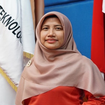




Lecture ID - 1013038901
Research Interest
- GIS and Remote Sensing
- Environment and Spatial Analysis
- Surveying and Mapping
- Urban Planning
Research Profil
Dwi Marsiska Driptufany, M.Si., is an academic and practitioner specializing in Geographic Information Systems (GIS), remote sensing, and spatial analysis, currently serving as a lecturer in Geodetic Engineering at Institut Teknologi Padang. Her educational background in Geography and extensive professional experience demonstrate strong expertise in mapping, spatial data processing, regional modeling, spatial database development, and spatial planning documentation. Her research interests focus on land use dynamics, urban heat islands, environmental resource management, disaster mitigation, coastal area studies, and the application of GNSS and satellite imagery technologies for sustainable regional planning. In addition to actively publishing in national and international scientific journals, she has been involved in various government and community engagement projects related to GIS capacity building, remote sensing applications, and participatory geospatial mapping.
Professional Experience
- Surveyor- Spatial Data Inventory for Flood adn Fire Disasters in Jakarta (2012)
- Surveyor- Validation of Educational Quality Data for Learning Process Outputs (2012-2013)
- GIS Assistant - Acceleration of Regional Spatial Planning (RTRW) (2014)
- Surveyor- Evaluation of Thematic Information Quality of RBI Maps Scale 1:10.000 in West Sumatra (2016)
- GIS Expert - Community Service Program, Geodetic Engineering Department, Institut Teknologi Padang (2017-2025)
- GIS Expert - Preparation of RRTR Documnet for the PDRI Museum and Monument Area, West Sumatra (2022)
- Team Leader - Preparation of Thematic Land and Spatial Maps (PTPR) (2022)
- GIS - Expert housing Infrastructure, Facilities and Utilities (PSU) Data Consultancy Services (2023)